National Drone Safety Awareness Week, held by the Federal Aviation Administration (FAA), reinforces safe flying practices by promoting educational information, success stories, technological advancements, and more.
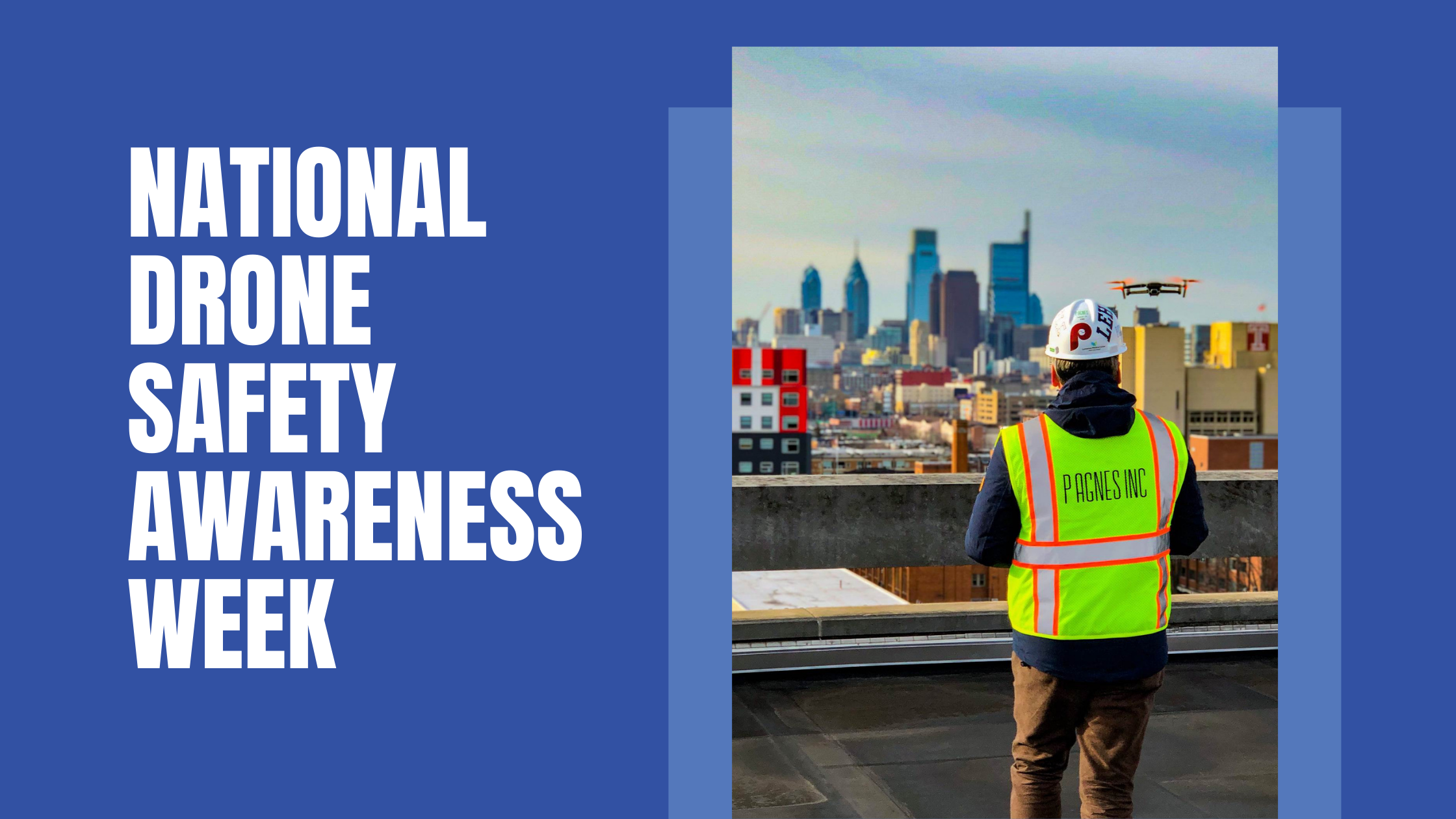
At P. Agnes, we utilize drone technology for a number of our projects as a way to verify work, map existing conditions, and communicate progress to teams on and off-site. In honor of National Drone Safety Awareness Week, we’ve highlighted a few steps our drone pilots follow in order to successfully, and safely, capture aerial photos and videos of our project sites.
To prepare for a drone flight, our team checks the airspace flight approvals if the project site is in the vicinity of an airport or helicopter pad. This step is incredibly important, but becomes even more imperative as many of our healthcare projects have helicopter pads on site to transport patients in critical condition. To verify approvals, our team uses a program called LAANC, which is the Low Altitude Authorization and Notification Capability through the FAA. P. Agnes does this through an app called Airbus UTM that is in our DroneDeploy software. Other preflight steps include checking the weather conditions, drone battery, file storage, and any potential equipment damage.
When setting up for a flight, our team scouts the area for any potential hazards as well as for starting and landing locations. Our team also informs those in the area that a drone is about to take flight. During the drone flight, our pilots stay vigilant to ensure the drone never leaves their sight and that their flight captures exactly what is needed.
Once the drone has safely landed, it is important to do another check of the equipment to ensure no damage occurred while in flight or during landing. Since our drone footage is used to communicate progress to project stakeholders, our team checks the footage while on-site to ensure that we captured what was intended.
Drones bring a whole new life to our project sites, and by having drone technology and capabilities at our fingertips, we are able to capture angles of our project sites that may otherwise be hard to see. This wouldn’t be possible without taking the necessary safety precautions throughout the entire flight, from start to finish.
Comments are closed